The Environment
Margaret River Region
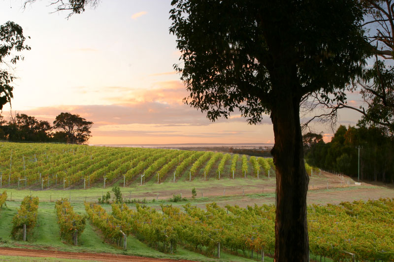
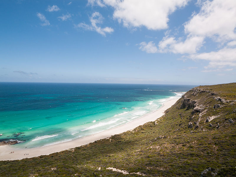
Margaret River is famous for its pristine beaches, powerful surf, amazing limestone caves, majestic eucalypt forests, picturesque farmland and for the worldwide recognition of its super premium wines.
The township of Margaret River is located some 280kms south of Perth in the South West of Western Australia.
Today, any land that lies west of the line of longitude 115S 18E is in the Margaret River wine region.
The Beginning
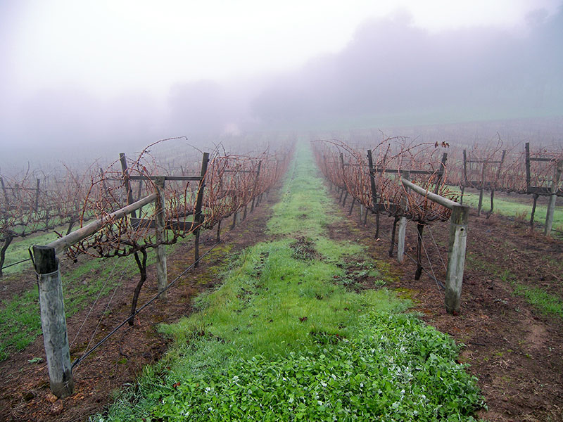
Wine grapes were planted in the Busselton and surrounding areas almost immediately following European settlement in the 1830’s. The planted acreage fluctuated but never became a serious pursuit until Italian migrants in the early 20th century began farming grapes on a larger scale.
Jimmy Meleri is known to have planted Doradillo on part of his 560 property at Yallingup some time before 1917 when he produced his first wine. He sold bottles for a shilling a piece at local dances.
The Credaros, Lepidis, Palandris and others followed suit, often planting varieties that are non-existent in the region today such as Muscatel, Black Prince, Constantia and Ave Maria.
John Gladstones was an agronomist with the Western Australian Department of Agriculture whose main duties involved the breeding of lupins.
After joining the Faculty of Agriculture at the University of Western Australia he became influential in the establishment of viticulture in new areas of Western Australia.
During the 1960s he identified the area around Margaret River and northwards as far as Yallingup and Vasse as sites for a premium wine region.
Following a public meeting that was held by Gladstones in Busselton in July 1966, a wine industry began a commercial path with the planting of Vasse Felix in 1967. After more than forty years of premium commercial winemaking Gladstones’ prediction has been totally vindicated.
Today the Margaret River winegrowing region is further categorized into six sub-regions based on drainage basins and accompanying variation in aspect and local weather patterns. The six sub-regions are indicated on the adjoining map and are from North to South; Yallingup, Carbunup, Wilyabrup, Treeton, Wallcliffe and Karridale.
Geography, Geology, Climate and Soils
The strong maritime influence is made possible by the region having water bodies on three of its boundaries – the Southern Ocean on the south, the Indian Ocean to the west and Geographe Bay to its north.
Of considerable note is the warm Leeuwin current that travels south along the west cost of Western Australia that contributes to a low diurnal seasonal temperature range for Margaret River. The mean annual temperature range is 7.6°C. Therefore damaging spring frosts are rare, but the occasional lack of winter vine dormancy can create problems that are unique to this region.
The south-west of Western Australia is one of the windiest sections of temperate coastline in the world.
The upside to this is an afternoon wind in summer that provides early relief to the growing vines from heat extremes. This sea breeze comes from the southwest, and in Perth is referred to as the Fremantle Doctor. It makes Margaret River a very kind and consistent part of the world to grow grapes.
The vineyard soils have formed directly from the weathering of the underlying granite and gneissic rock. The resultant soils of gravel (commonly called coffee rock) and, in some special vineyards, granite provide excellent drainage and contribute strongly to the distinct regional flavour influences famous from Margaret River.
The region is dominated by the Leeuwin-Naturaliste ridge that stretches 100kms from Cape Naturaliste in the north to Cape Leeuwin in the south at Australia’s most South Westerly point.
This is an ancient geological part of the world that formed over 600 million years ago. It comprises of sand and coastal limestone atop a ridge of Granite-Gneiss and Granulites.
That’s what the geologists tell us, but what we vignerons see is a topography that is undulating and dominated by ironstone ridges, granite knolls and limestone plateaus.
The Margaret River Region has a temperate maritime climate, with hot dry summers and cool wet winters (Bureau of Meteorology, 2001). Rainfall is generated in winter by rain-bearing low-pressure systems moving in an easterly direction. Some 1000mms (40 inches) of rain is received, with 75% of this coming in the May-September months.
In summer these fronts are blocked by high-pressure systems, but occasional widespread rain may result from decaying tropical cyclones which is always the vigneron’s biggest fear at harvest.
Sub Region Yallingup
Forester Estate sources its fruit predominately from the most northern sub-region in Margaret River, Yallingup.
The sub-regions of Margaret River are designated by the water drainage basins that naturally exist. The Gunyulgup Brook that drains towards Yallingup is the dominant valley of this subregion, however, there is also substantial vineyard area planted on the Eastern facing slopes of the ridge.
Yallingup is influenced by the coastal south west sea breezes that blow over the warm Leeuwin current traveling south along the coast.
The other water body that influences Yallingup is Geographe Bay - a wide, shallow bay that holds higher water temperatures than the Indian Ocean to the west of the cape.
This combination allows an extreme Mediterranean influence for this sub-region, segregating it from sub-regions further south that are subject to cooler Southern Ocean breezes with greater accompanying cloud cover.
